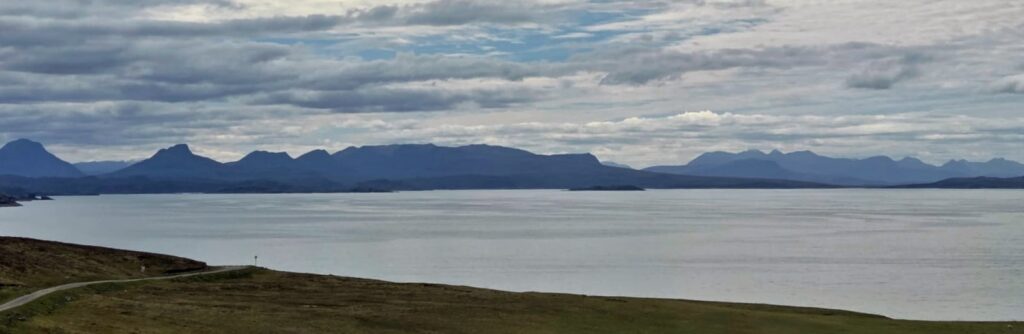
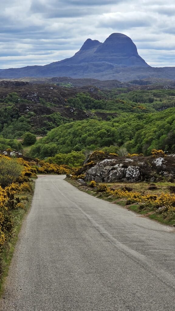
Distances By Day:
Day 1: 338 miles
Day 2: 140 miles
Day 3: 29 miles
Day 4: 49 miles
Day 5: 55 miles
Day 6: 69 miles
Day 7: 68 miles
Day 8: 42 miles
Day 9: 48 miles
Day 10: 24 miles
Day 11: 162 miles (due to accident diversion – should have been 70!)
Day 12: 79 miles
Day 13: 106 miles
Day 14: 335 miles
Total: 1544
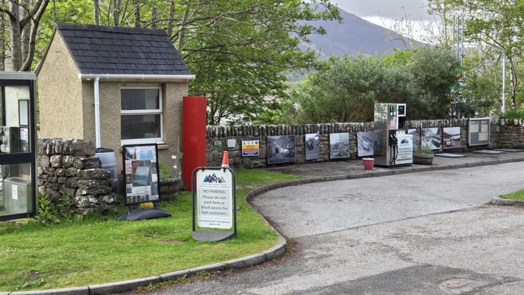
Fuelling:
1. Inverness Tesco £96.22, 50.67L, 189.9
2. Wick Tesco £46.52, 24.86L, 179.9
3. Scourie £56.26, 29.03L, 193.8
4. Gairloch £65.90, 35.26L, 186.9
5. Claymore (Glencoe) £61.68, 33.54L, 183.9
Total on trip: £326.58
6. £80.47, 42.60L, 188.9
Adblue 5L, £27
Diesel £453.58